Finding Unmarked Graves at PVAMU

Finding Unmarked Graves at PVAMU
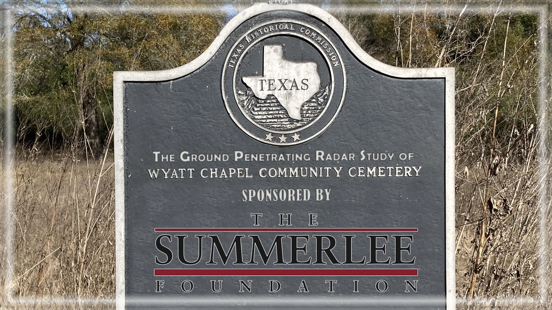
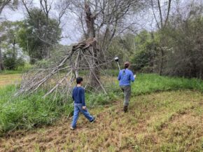
On March 12 and 13, 2024, Legacy Cultural Resources, Inc. invited ground penetrating radar specialists Dr. Chet Walker and Aundrea Thompson to visit the campus of Prairie View A&M University (PVAMU) and conduct several geophysical examinations of the historic burial ground of Wyatt Chapel Community Cemetery.
This project is funded through the Summerlee Foundation.
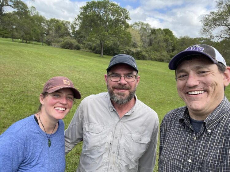
Aundrea Thompson, Dr. Chet Walker, and Dr. DeWayne Moore
The archeologists
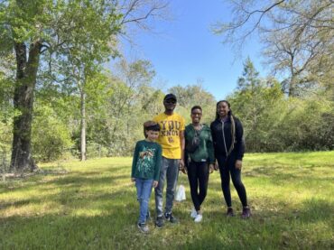
Student Engagement

The archaeologists
In the spring of 2006, Dr. Walker founded Archaeo-Geophysical Associates, LLC, an archaeological consulting firm specializing in geophysical prospection. Since that time, he has collected geophysical data on over 150 archaeological sites, now totaling much more than 1,539 Acres of Gradiometer, 115 Acres of Ground-Penetrating Radar, and 484 Acres of Electromagnetic Induction Meter.
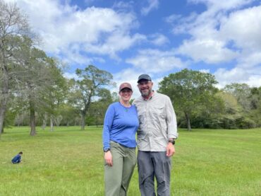
Aundrea Thompson studied at the University of Wyoming, and she has worked as a forensic archaeologist on numerous projects in the past ten years. For more on one project, in which she located the remains of a World War II soldier and brought his remains back to the US for burial, please click HERE
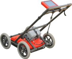



Hauling their geophysical prospection equipment in a large pick-up truck from Palestine, Texas, where they had been working at another archaeological site, Aundrea and Chet planned to spend two days on campus before driving to Magnolia, Texas to collaborate with the Houston Archaeological Society on a dig site.
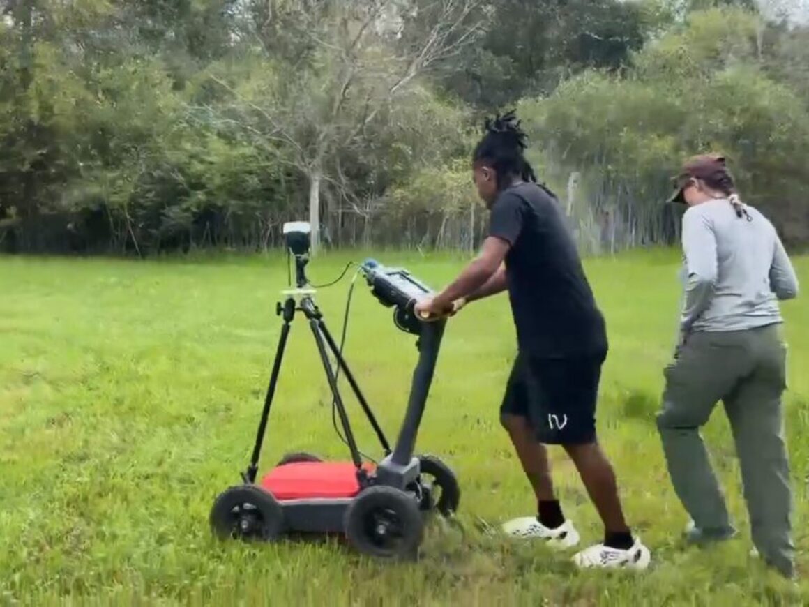
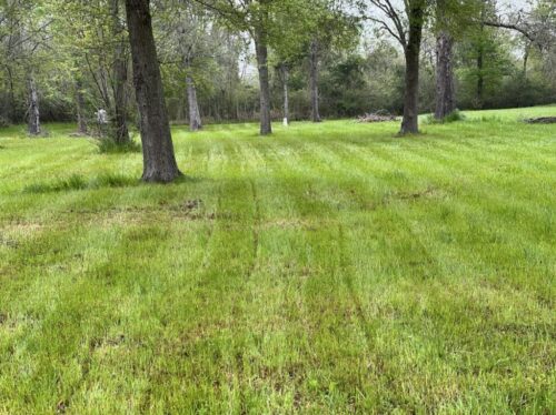
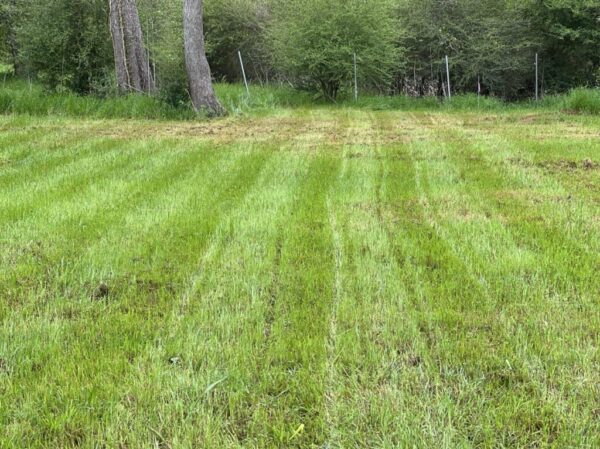
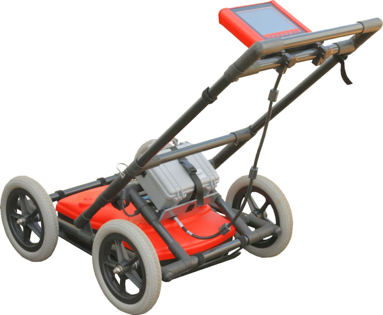
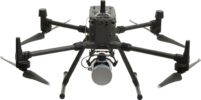
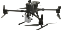
At PVAMU, Chet and Aundrea planned to run the ground-penetrating radar over the entire five acre field to determine the size of the burial ground. In addition, they intended to scan the field with an electromagnetic induction meter as well as LIDAR [or Light Detection and Ranging], which is attached to a large drone and scans an estimated 120 acre area.
Ground Penetrating Radar
Scanning the Entire Field

The cemetery
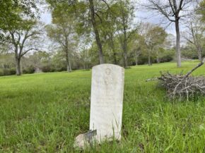
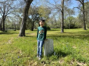
The burial ground is associated with and named after an African American church founded in the 1890s by Reverend George W. Wyatt, a one-time school teacher and politician who represented Waller and Fort Bend Counties in the state legislature in the 1880s. Based on slave schedules, Wyatt Chapel Community Cemetery might contain hundreds of graves of enslaved people, formerly enslaved people, and their descendants. It sits on the former slave labor plantation of Jared E. Kirby, who, in 1860, owned more enslaved people (159) than any other planter in Austin County. No one made a formal record of these burials, however, and the historic burial ground, which is located behind University Village Phase III, was over time abandoned, especially after 1961, with the establishment of nearby Prairie View Memorial Gardens. Wyatt Chapel Community Cemetery contains only a handful of marked graves, but it holds forever close the remains of three United States military veterans.

Light Detection and Ranging (LIDAR)
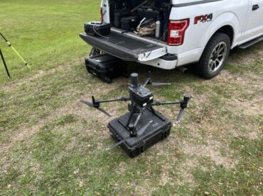
Drone with LIDAR
Pre-Set Navigation
Chet and Aundrea completed the data collection using ground penetrating radar for the entire five acre field, and they obtained LIDAR data using the drone, but they plan to return later in March 2024 to complete data collection with the magnetometer. Once all the data is collected, they will analyze their findings independently and objectively, and they will submit their findings to Dr. Nesta Anderson, of Legacy Cultural Resources, Inc., who will meet with Dr. Moore and Pamela Morgan, of the Wyatt Chapel Descendants Committee, to compare the results to the findings from the pedestrian survey.
Digital PV Panther Project
John B. Coleman Library
Room 111
Prairie View, Texas 77446
Email: digitalpvpantherproject@gmail.com
Phone: 936-261-3512
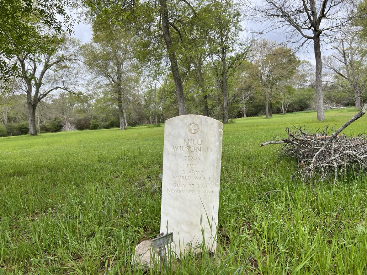
The Headstone of Milo Wilson
Stay tuned for the next installment!
